The Kashmir Great Lakes trek is the valley's signature high route: roughly seventy kilometres over about a week, crossing a series of passes and dropping into a new glacial lake basin almost every day. It is popular for a reason, and it is harder than its reputation suggests.
The shape of the route
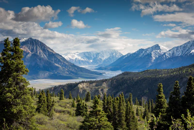
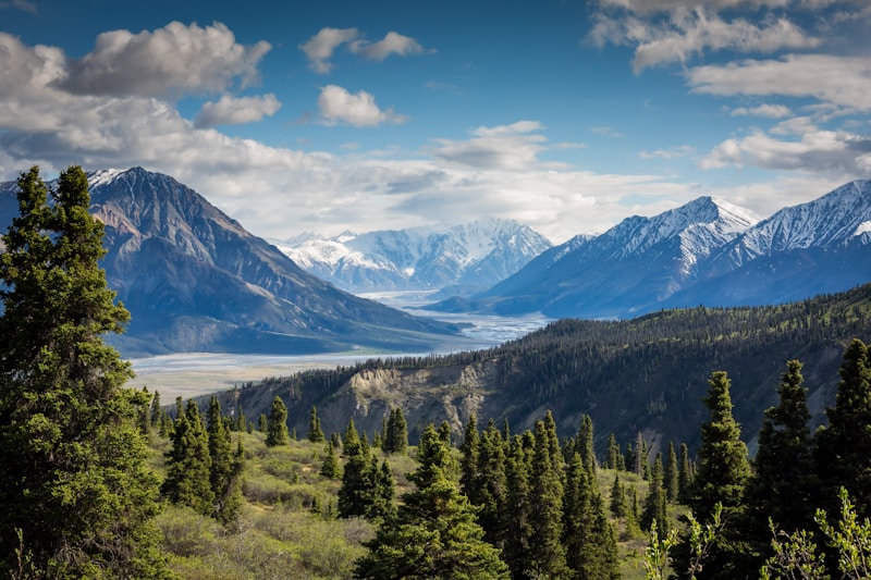
Most itineraries start at Sonamarg and finish at Naranag, walking broadly north-west. The rhythm is consistent: climb a pass in the morning, descend to a lake, camp. Vishansar and Kishansar sit together below Nichnai. Gadsar follows over the highest pass on the route. Satsar is a scatter of smaller pools rather than one lake, and the final day drops past the twin basins of Gangbal and Nundkol under Mount Harmukh.
What it actually demands
The maximum altitude is above 4,000 metres and you sleep high for several consecutive nights. The daily distances are moderate but the ascents are not, and the passes are steep and loose in places. River crossings are real, particularly early in the season when melt is heavy. This is not a technical climb — no ropes, no glacier travel — but it demands genuine cardiovascular fitness and a tolerance for cold, wet camping.
When to go
July through early September. Before July the passes hold snow and the crossings are dangerous. After mid-September the weather turns and the window closes fast. Late July into August gives the fullest wildflower meadows; September gives clearer air and better long-range visibility.
Photographing it
The lakes change colour hour by hour, from steel grey to deep turquoise, depending on cloud and sun angle. Early morning is when the water is stillest and reflections are cleanest — worth leaving the tent before sunrise for. Gadsar is the classic shot, with the lake framed against the pass you have just descended. Shepherd encampments dot the meadows; ask before photographing people or their animals, and accept a no.
Practicalities
Permits are required and are normally arranged by your operator. Going with a registered guide is strongly advisable rather than optional — the route is not signposted, weather closes visibility quickly, and evacuation from the middle days is slow. Carry layers for near-freezing nights even in August, waterproofs you actually trust, and broken-in boots. Mobile signal is absent for most of the route.
Leaving it as you found it
Traffic on this trail has grown quickly and the meadows show it. Carry out everything, including organic waste, and camp on established sites rather than fresh ground. The lakes are drinking water for the shepherds who summer here.